Site Evaluation Reports
A detailed evaluation of the activities, outcomes and lessons from each of the Living Water sites
Located at the top of the Kaipara Harbour catchment, the 75,000 hectare Wairua River catchment includes the 13,000 hectare Hikurangi floodplain, which contains the 5,600 hectare Hikurangi Swamp Scheme. Once a giant wetland, the floodplain has been largely drained and developed for agriculture, forestry, horticulture, and lifestyle blocks.
A biodiversity hotspot, the floodplain is characterised by two large wetlands (Otakairangi and Wairua), as well as dozens of small, isolated and fragmented wetland and riparian forest remnants. It also includes a very important tuna (freshwater eel) fishery.
The Wairua River flows into the Wairoa River and then into the Kaipara Harbour. The Kaipara Harbour is the largest enclosed harbour in the Southern Hemisphere, and the second largest harbour in the world. It is also known as the ‘food basket’ of local iwi and hapū in the area. The harbour has long been recognised as an extremely important nursery for juvenile fish and sharks, particularly snapper, grey mullet, flounder and mako and great white sharks.
In Wairua there has been a significant loss of wetland and freshwater ecosystems. Water quality is degraded due to high levels of suspended sediment. Much of this has been caused by various productive land uses in the catchment and modification of the waterway, wetland and peat soil hydrology for drainage purposes.
Living Water’s key focus was reducing sediment loads into the Wairua River by using solutions that improve hydrologic functioning and ecological resilience of the catchment.
A detailed evaluation of the activities, outcomes and lessons from each of the Living Water sites
A round-up of all the mahi from the Wairua catchment as at July 2022
Download our catchment map in high or low resolution
Collaborative project incorporating sustainable land management practices and the principles of mātauranga Māori to reduce sediment into the Wairoa River
Determining whether detention bunds can effectively manage peak run off and reduce sediment in Northland
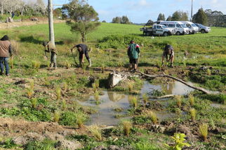
Creating wetlands in wet areas on-farm can provide biodiversity benefits while also reducing flooding, erosion, and improving water quality.
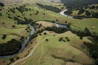
This project aims to show best practice restoration of two oxbows on the Hikurangi floodplain.
Gathering data to better understand how the Otakairangi Wetland works to determine which methods are best to mitigate impacts on this rare wetland environment.
Supporting the Mountains to Sea Conservation Trust to engage the community in freshwater issues
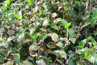
Can we control an invasive weed with Brazilian beetles?
Testing the usefulness of taking an ecosystems services approach for project planning


